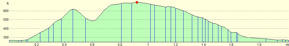
Summary
| Distance: 2.01 miles |
| Estimated duration: 0:52 |
| High point: 696 feet |
| Route start: 50°54.157’N, 0°03.689’W |
| Total ascent: 568 feet |
| Total descent: 568 feet |
The Walk
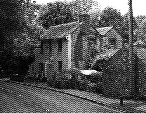
Starting near the entrance to the Half Moon pub car park on Plumpton Lane, walk south towards the junction with the B2116. Cross over and then proceed along the public bridleway, Plumpton Bostal.
Looking back at the final destination (perhaps) while crossing the junction.
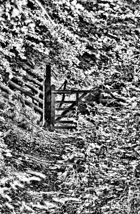
Follow the bridleway for about a third of a mile until you find the gate to a footpath on the left.
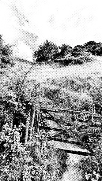
Gate on the left along Plumpton Bostal.
Follow that path up until you see a rough track going back along the slope to the right. Following this track will take you to the cross. It is actually best seen from a distance since when on the cross you are too close and it appears as some grassy ditches. There is a plaque on the Streat Forge lane near Streat that provides a description and view of the cross.
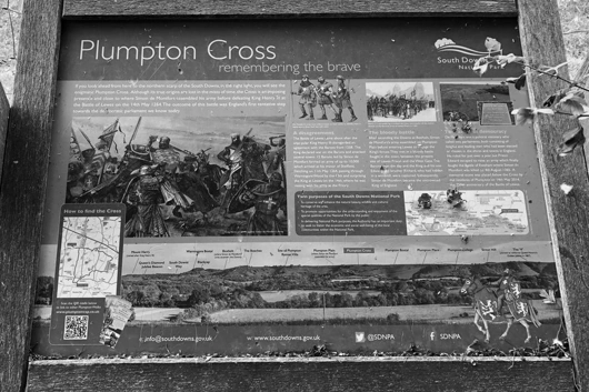
Plaque provided by the South Downs National Park.
After visiting the cross, follow the track back to the path and turn right to follow it to the top.
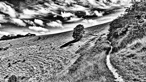
The path to the top.
Before reaching the main track at the top there is a path to the left that follows the fence which is much less wearing on the feet. Follow this all the way to the junction of five tracks and paths.
The junction of five tracks and paths with Firle in the distance.
If you are feeling up to postponing the return to the Half Moon pub, continue the walk a little further until you reach the trig point at Blackcap.
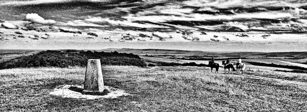
The view from Blackcap. In the distance, from right to left, Newhaven, West Firle and Firle Beacon.
Rejoin the main path down from the junction and take the first path left beside The Beeches.
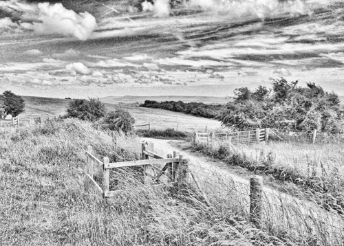
The gate before entering The Beeches.
Follow the path down until it forks and take the left fork. Then continue down through the trees until a stile into a field beyond which can be seen another stile and path across another field to rejoin the B2116.
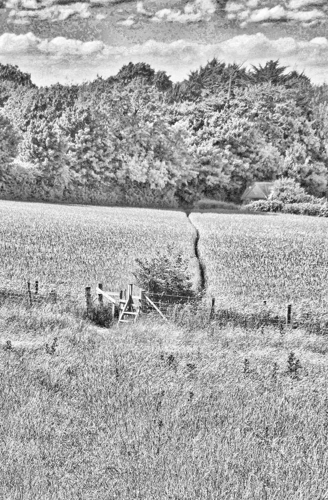
The stile with a field beyond which, depending on the time of year, can make you feel you’re in the set of Gladiator.
At the B2116, on the opposite side of the road is a lane to Hackmans Farm campsite. Follow this until you meet a footpath on the left. Follow that path back to Plumpton Lane and the Half Moon pub for a well earned drink.
Profile
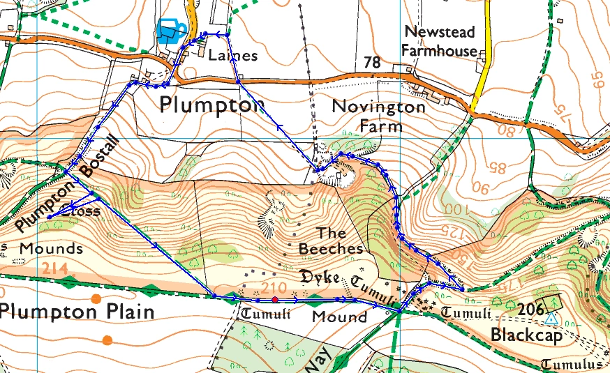
Map