Summary
| Distance: 2.65 miles |
| Estimated duration: 1:06 |
| High point: 610 feet |
| Route start: 50°53.287’N, 0°13.787’W |
| Total ascent: 680 feet |
| Total descent: 685 feet |
The Walk
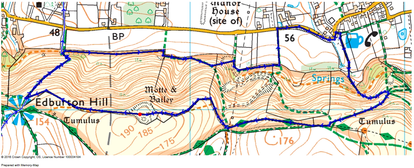
The Shepherd and Dog pub is the start and end point of the walk. If driving through Fulking towards Edburton, follow the road past the pub where just around the corner are some parking spaces beside the road.
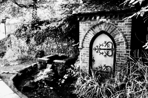
Gothic pumphouse and spring.
Walking back past the pub, up the hill slightly, beside the pub is a small side road towards another gravelled private car park. The path then turns right through the hedgerow behind the pub towards the downs. Along this path, you will get a glimpse of the top of Devil’s Dyke and, if the weather is favourable, a flock of paragliders.
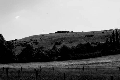
Looking towards Devil’s Dyke.
Follow the path up to the point where a number of tracks converge, then take the right-hand cutting to arrive at the top. Then follow the main track through the gate. Shortly after the gate, there is a better view if the right hand track is taken. Follow this until you reach the next gate near the electricity pylon.
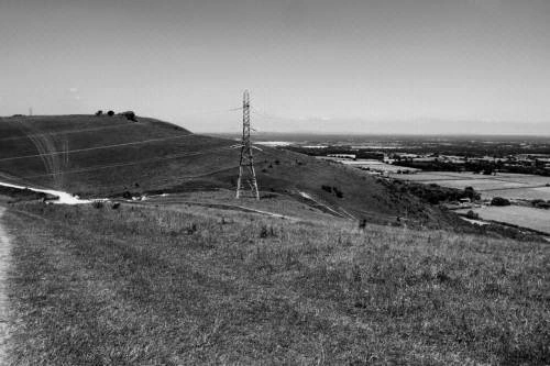
Electricity pylon before bostal track.
Don’t go through the gate but turn right before it, keeping this side of the fence. Follow the fence along a sheep track (not the Bostal track) until you can turn left (the path marked on the Ordnance Survey map is no longer there). From there you should be able to see a clump of trees just before the high point of the walk, Edburton Hill, the site of a Motte and Bailey castle. Follow the fence past the trees to a stile to gain access to the site.

Trees before the motte and bailey site.
The Edburton Castle rings by which the motte and bailey is also known, is thought to have been built shortly after the Norman Conquest in 1066.
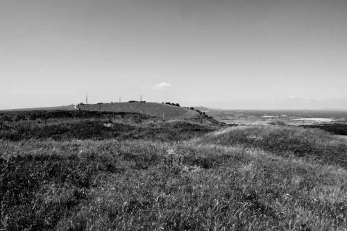
Looking towards Truleigh Hill.
To continue, walk West, along the North side of the fence towards Truleigh to join the path descending towards Edburton.
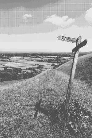
Looking towards the site of Perching Manor House.
Once at the bottom, take the right-hand path and follow it back to Fulking. Several paths can take you to the road and back to the pub for a well-deserved refreshment.
Profile

Map
