Summary
| Distance: 2.79 miles |
| Estimated duration: 1:10 |
| High point: 707 feet |
| Route start: 50°53.789’N, 0°12.392’W |
| Total ascent: 727 feet |
| Total descent: 726 feet |
The Walk
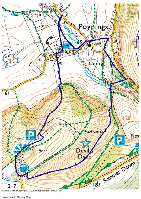
The walk starts opposite Poynings Village Hall. Follow the path keeping to the left until you reach the road where you turn left. Follow the road past the garage and up the hill to the junction. Go right then immediately left past the green gate through the farm, keeping to the footpath.
Go up the the stile then through the trees to the road. Turn right at the road. Go down the road a short way until you get to the first track left, marked with a bridleway sign. Go through the two pillars and take the first footpath on the left. Follow the path up the slope to the viewpoint where you can take a rest at the seat.
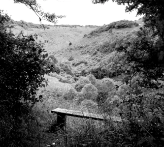
Take a rest while enjoying the view of the dyke.
A little further up the path from the seat, at the viewpoint, there is a steep path down to the valley below. Beware in the wet, the path further down can be very slippery.
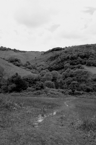
Steep descent down from viewpoint to valley.
Once in the trees at hte bottom, go forward until you meet the direct path from Poynings where you then join it and go left until you reach the beginning of the dyke.
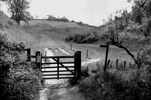
The start of Devil’s Dyke.
Once through the gate the path to follow is on the right. Follow this all the way along until, just before the road, take a turn to the right pass some gorse bushes, up to a stile and the road beyond.
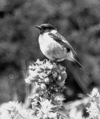
A Stonechat on a gorse bush.
Cross the road and follow it round to the right. There is a great view to enjoy before continuing past the car park along the path towards Newtimber where it turns left down the slope to a stile.
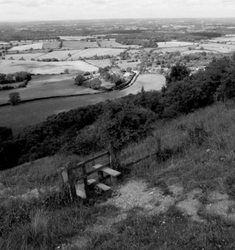
The stile before the descent down from Devil’s Dyke with Poynings in the background.
Once over the stile, follow the path down to the right all the way to the road. At the road turn right, then at the Royal Oak pub, turn left into the car park. At the end the footpath continues back to the start.
Profile

Map
